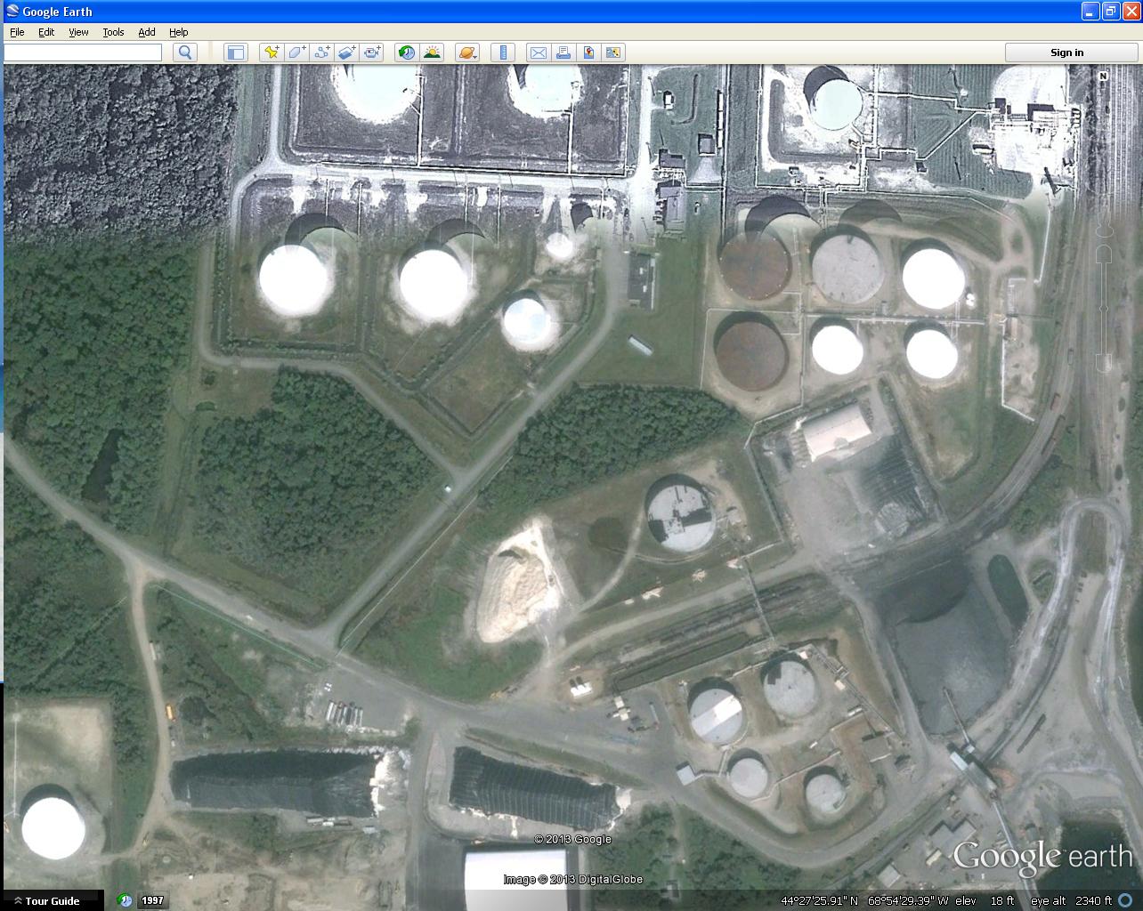
We frequently get the question "why can't we just use google". The image below shows that sometimes the quality just isn't there. It is good too look at for general purposes but can be troublesome when you need accuracy.

[cid:image001.jpg@01CEDF9E.13020790]

Joseph Young
Mapping Coordinator
Maine Department of Agriculture, Conservation and Forestry
Floodplain Management Program
93 State House Station
Augusta, Maine 04333-0022
Office: 207-287-8051
Cell: 207-592-5105
www.maine.gov/doc/index.shtml<http://www.maine.gov/doc/index.shtml>
For information on our statewide mapping program
Twitter<http://www.twitter.com/maineorthos> | Facebook<http://www.facebook.com/maineorthos> | Web<http://www.map-maine.com/>


-----------------------------------------------------------------------
This list Maine GeoNews (GEOLIBRARY-L) is an unmoderated discussion list for all Maine GIS Users. If you no longer wish to receive e-mail from this list, you can remove your name and email address yourself at the this web address:

http://lists.maine.edu/cgi/wa?SUBED1=geolibrary-l&A=1

Or,you may also request that your name be removed by sending email to:

[log in to unmask]


