 
| Subject: | |
| From: | |
| Reply To: | |
| Date: | Fri, 26 Aug 2016 23:19:42 -0400 |
| Content-Type: | multipart/related |
| Parts/Attachments: |
|
|
I used this map application from FEMA the other day to create a FIRMette:
http://fema.maps.arcgis.com/apps/webappviewer/index.html?id=49069b91c14a411fa8defccf5c1f6266
It provides an easy tool to pinpoint your location as well as the lookup.
It gives you a formatted print with a great layout, ready-to-go. The State
of Maine app needs the print widget.
On Fri, Aug 26, 2016 at 4:58 PM, V. Kelly Bellis <[log in to unmask]>
wrote:
> Land surveyors and others practicing in Hancock County are likely aware of
> the new maps and related products that went into effect 20160720. Related
> spatial products are also available through FEMA Map Service Center
> portal's Search All Products <http://msc.fema.gov/portal/advanceSearch#>:,
> and drilling down to NFHL Data-County provides a link to a good-sized slug
> of data. Of particular interest, county-wide data:
>
>
>
>
>
>
> Another handy source of information from FEMA is its Web Map Service
> <https://hazards.fema.gov/femaportal/wps/portal/NFHLWMSkmzdownload> (WMS)
> interface, great for using Google Earth Pro to check out stuff like where
> the previously approved and now re-validated LOMAs are located. Or
> configure the WMS/ FEMA NFHL kmz
> <https://hazards.fema.gov/femaportal/kmz/FEMA_NFHL_v3.0.1.kmz> in your
> favorite GIS app; e.g., Global Mapper) - more information regarding its
> layers here <https://www.fema.gov/national-flood-hazard-layer-nfhl>.
>
>
>
>
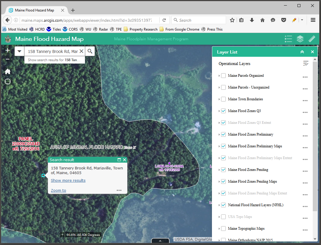
> Maybe, the best for last: Maine's own searchable browser interface
> <http://maine.maps.arcgis.com/apps/webappviewer/index.html?id=3c09351397764bd2aa9ba385d2e9efe7>;
> type in a street address and explore this rich interactive resource. Many
> thanks to Joe Young and the entire MeGIS team - top marks!
>
>
>
> --
> <http://aerial.panocea.us/>
> Mr. V. Kelly Bellis, ME PLS 2099 :: WQTS485
> 17 Union Street :: Ellsworth, ME 04605
> http://aerial.panocea.us :: 1+ (207) 667-6912
> -----------------------------------------------------------------------
> This list Maine GeoNews (GEOLIBRARY-L) is an unmoderated discussion list
> for all Maine GIS Users. If you no longer wish to receive e-mail from this
> list, you can remove your name and email address yourself at the this web
> address:
>
> http://lists.maine.edu/cgi/wa?SUBED1=geolibrary-l&A=1
>
> Or,you may also request that your name be removed by sending email to:
>
> [log in to unmask]
>
>
-----------------------------------------------------------------------
This list Maine GeoNews (GEOLIBRARY-L) is an unmoderated discussion list for all Maine GIS Users. If you no longer wish to receive e-mail from this list, you can remove your name and email address yourself at the this web address:
http://lists.maine.edu/cgi/wa?SUBED1=geolibrary-l&A=1
Or,you may also request that your name be removed by sending email to:
[log in to unmask]
|
|
|


