 
| Subject: | |
| From: | |
| Reply To: | V. Kelly Bellis |
| Date: | Thu, 5 Oct 2023 08:07:58 -0400 |
| Content-Type: | multipart/alternative |
| Parts/Attachments: |
|
|
What wasn't mentioned in this /NGS Weekly Announcement/, but perhaps
should have been:
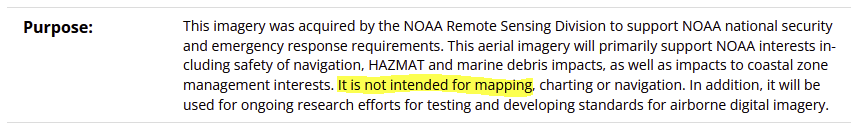
Metadata source: https://www.fisheries.noaa.gov/inport/item/70844
On 10/5/2023 7:40 AM, V. Kelly Bellis wrote:
>
>
> NGS Collects Emergency Response Imagery of Hurricane Lee
>
>
> October 2, 2023
>
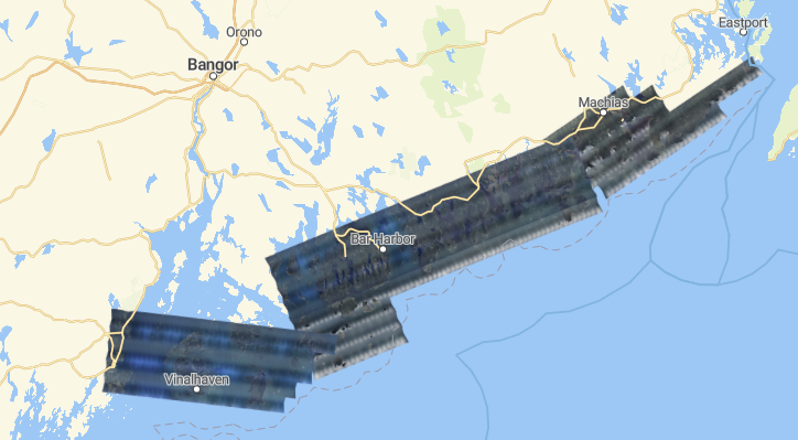
> NGS collected aerial images in the aftermath of Hurricane Lee
> <https://oceanservice.noaa.gov/news/sep23/ngs-storm-imagery-lee.html>.
> The crew flew over more than 4,566 square kilometers and collected
> 1,482 images in 9.2 hours. The imagery was collected in specific,
> NOAA-identified, and Federal Emergency Management Agency-assigned
> areas in coordination with other federal agencies and impacted states.
> Aerial imagery is a cost-effective way to better understand both
> property and environmental damage. The imagery is used to determine
> the extent of flood and storm damage to major ports and waterways,
> coastlines, critical infrastructure, and coastal communities. NOAA's
> aerial imagery also assists with safe navigation. NGS delivers the
> imagery through this website <https://storms.ngs.noaa.gov/>, which
> supports both the general public’s needs and advanced applications.
>
> For more information, contact: Mike Aslaksen
> <https://geodesy.noaa.gov/cgi-bin/redirectNOAA.prl?u=Mike.Aslaksen>
>
> --
> Untitled Document
> logo V. Kelly Bellis
> Maine PLS 2099
> 17 Union Street
> Ellsworth, ME 04605
> Viewed from above
> <https://www.360cities.net/image/union-river-bay-to-graham-lake>
>
-----------------------------------------------------------------------
This list Maine GeoNews (GEOLIBRARY-L) is an unmoderated discussion list for all Maine GIS Users. If you no longer wish to receive e-mail from this list, you can remove your name and email address yourself at the this web address:
https://lists.maine.edu/cgi-bin/wa?SUBED1=GEOLIBRARY-L&A=1
Or, you may also request that your name be removed by sending email to:
[log in to unmask]
|
|
|


