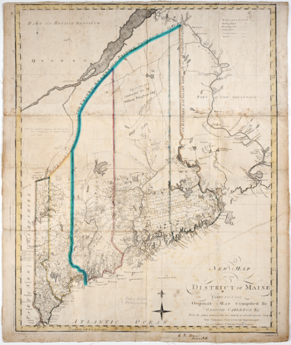
About this map - I was unable to find a suitable ready-made map showing the full extent of Lincoln County
at the time of its creation, 21 June 1760, but opted for this circa 1795 map onto which the cyan-colored
highlighted line approximates the western and northern limits of Lincoln County.

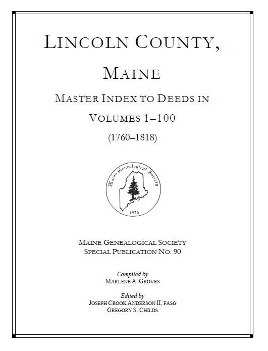
If you do any deed research in Maine straddling either side of the American Revolution
era, this amazing book compiled by Marlene A. Groves is essential.

https://maineroots.org/shop/other-special-publications/product/94-lincoln-county-maine-master-index-to-deeds-in-volumes-1-100-90

--
Untitled Document
V. Kelly Bellis
Maine PLS 2099
17 Union Street
Ellsworth, ME 04605
Viewed from above


----------------------------------------------------------------------- This list Maine GeoNews (GEOLIBRARY-L) is an unmoderated discussion list for all Maine GIS Users. If you no longer wish to receive e-mail from this list, you can remove your name and email address yourself at the this web address:

https://lists.maine.edu/cgi-bin/wa?SUBED1=GEOLIBRARY-L&A=1

Or, you may also request that your name be removed by sending email to:

[log in to unmask]