EXTERNAL: This email originated from outside of the State of Maine Mail System. Do not click links or open attachments unless you recognize
the sender and know the content is safe.
Has anybody seen an up-to-date interactive map county by county (or even finer granularity should Maine CDC's case tracker ever break it down by town) for Maine yet showing the confirmed cases of COVID-19?
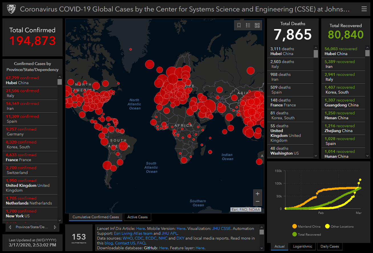
While searching around, I found this well prepared map by the Center for Systems Science and Engineering (CSSE) at Johns Hopkins University (JHU). The things about it I liked most include that it provides Total Recovered, metadata, in addition to it apparently being updated with each refresh. Data centroids are currently at the state/province level, though had previously been reporting at the county level up until March 10. JHU's map is expected to return to county-level reporting once their platform has is proven robust enough to handle the coming tsunami of data.
Or, you may also request that your name be removed by sending email to: